
July 27, 2025 – ISRO is set for one of its biggest launches yet, teaming up with NASA to send the NISAR satellite to space on July 30. Using the GSLV-F16 rocket out of the Satish Dhawan Space Centre, this $1.5 billion joint mission aims to track changes on Earth with more detail than ever before.
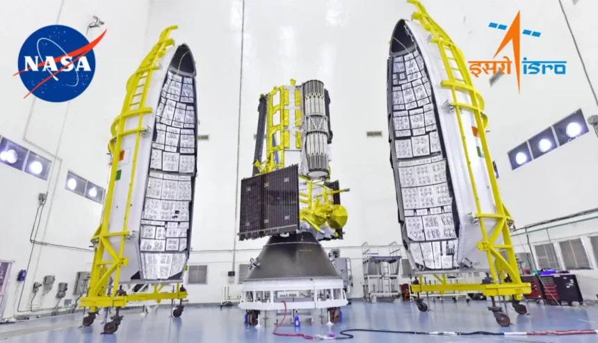
NISAR—short for NASA-ISRO Synthetic Aperture Radar—is a first-of-its-kind Earth observation satellite. It packs two powerful radars: NASA’s L-band and ISRO’s S-band, both linked to a giant 12-meter mesh antenna. This tech lets the satellite see through clouds and darkness, taking sharp images over a wide 242-km strip of land below, every 12 days. The satellite itself weighs about 2,400 kg and will be placed in a Sun-synchronous orbit 743 km above Earth, circling the globe from pole to pole.
ISRO says the satellite will spot even tiny shifts on the planet—think land sinking after an earthquake, glaciers moving, or forests changing bit by bit. India’s space agency will use the data for tracking storms, monitoring floods, mapping water bodies, and more, while scientists everywhere get access to the info. NISAR is expected to help farmers, disaster teams, city planners, and experts keeping tabs on climate change.
Pulling off this mission is a big deal, especially since it’s taken over a decade of hard work on both sides. Engineers from India and NASA’s Jet Propulsion Lab tested and tweaked the satellite tech for years, including delays to make sure the giant radar reflector was perfect.
NISAR’s launch on the GSLV-F16 is its own milestone—a heavy-lift rocket made for tricky space jobs. ISRO’s leadership says placing such a costly and advanced satellite into a special orbit is a huge step for India’s space program.
With everything ready for the July 30 liftoff, the world will be watching as the rocket carries NISAR above the clouds. For ISRO, NASA, and everyone following Earth’s changes, this could be a turning point in understanding what’s really happening on our planet.